Changes to the GEBCO WMS

From the 1st August 2022, the latest version of the GEBCO WMS will be accessible from the following service URL:
https://www.gebco.net/data_and_products/gebco_web_services/web_map_service/mapserv?
Please note that this service URL previously provided access to WMS layers based on the GEBCO_2021 Grid.
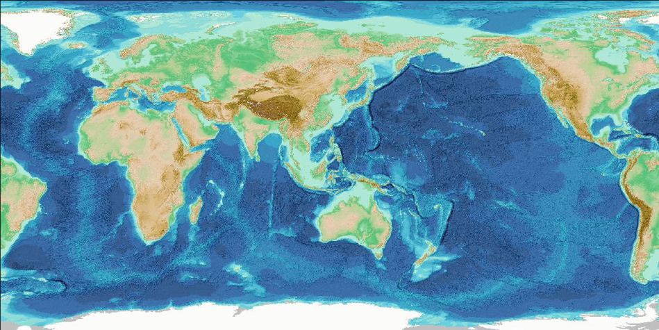
The links below return imagery from 'GetMap' request calls to the WMS for the various available layers.
GEBCO_2022 Grid - with ice surface elevation information
- WMS 1.3.0 GetMap request for the global GEBCO Grid displayed as a shaded relief image
- WMS 1.3.0 GetMap request for the global GEBCO Grid displayed as a 'flat map' image, colour-coded for elevation
- WMS 1.3.0 GetMap request for the global GEBCO Grid displayed as a 'flat map' image, colour-coded for elevation, showing areas based on measured data only
GEBCO_2022 Grid - with sub-ice topography/bathymetry information
- WMS 1.3.0 GetMap request for the global GEBCO Grid displayed as a shaded relief image
- WMS 1.3.0 GetMap request for the global GEBCO Grid displayed as a 'flat map' image, colour-coded for elevation
GEBCO_2022 Type Identifier (TID) Grid
- WMS 1.3.0 GetMap request for the global TID Grid - grid cells based on measured data are shown in black
- WMS 1.3.0 GetMap request for the global TID Grid - grid cells colour-coded by TID value
It is intended that when a new version of the GEBCO grid is released, the layers listed above will be updated to use the latest GEBCO data set – i.e. it will be transparent to users that the source data set has been changed. There will be no need to update your application to use new layer names in order to continue to use the latest version of the GEBCO grid.
We intend to announce in advance when the layers will be updated with a newer version of the GEBCO grid.
Previous versions of the GEBCO WMS layers will continue to be made available.
Find out more about GEBCO's web services and data sets.


