Image:

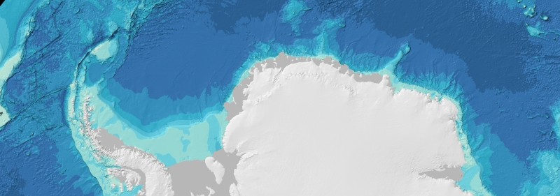
Imagery based on the GEBCO_2014 Grid is now available as WMS layers in polar stereographic projections for the Arctic and Antarctic regions for use in your own applications and services.
- WMS 1.1.1 GetMap request for imagery centred on the geographic North Pole
- WMS 1.1.1 GetMap request for imagery centred on the geographic South Pole
Find out more about accessing GEBCO's Web Map Services (WMS).


