• iho Logo
  • IOC of UNESCO Logo

GEBCO_08 Grid

  • IHO Logo
  • IOC of UNESCO Logo

Updated version of the GEBCO_08 Grid released

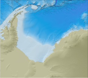
Bathymetry of the Weddell Sea region from the latest release of the GEBCO_08 GridThe GEBCO_08 Grid is a 30 arc-second grid of global elevations; it is a continuous terrain model for ocean and land.

The latest release of the grid (version 20100927) is now available and includes new bathymetric grids for the Black Sea, Caspian Sea and Weddell Sea regions.

On behalf of GEBCO, the grid can be downloaded.
 

Related Content

Similar news
GEBCO_2014 Grid for the Atlantic Ocean area
GEBCO 2014 Grid

GEBCO is pleased to announce the release of its latest global terrain model at 30 arc-second intervals - the GEBCO_2014 Grid.

Bathymetry of the Weddell Sea region from the latest release of the GEBCO_08 Grid
Updated version of the GEBCO_08 Grid released

An updated version of the GEBCO_08 Grid is now available to download. It includes new bathymetric grids for the Black Sea, Caspian Sea and Weddell Sea regions.