Image:

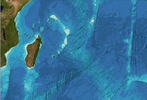
GEBCO makes available global bathymetric grids for the world's oceans. Our latest data set, the GEBCO_2014 Grid, was released in December 2014 and is a global terrain model at 30 arc-second intervals.
GEBCO's grids can be downloaded from the internet, on behalf of GEBCO from the British Oceanographic Data Centre (BODC), either as global grids or for user-defined areas.
We have recently extended the web download application so that the GEBCO_2014 Grid is now available for download in the following additional formats:
- Esri ASCII raster — an ASCII format developed for the export/exchange of Esri ARC/INFO rasters. The format consists of a header that gives the geographic extent and grid interval of the data set, followed by the actual grid cell data values.
- INT16 GeoTiff — GeoTiff format contains geo-referencing (geographic extent and projection) information embedded within a Tiff file. The GEBCO_2014 Grid is made available as single-channel INT16 (two byte signed integer) data values for user-defined areas in GeoTiff format.


