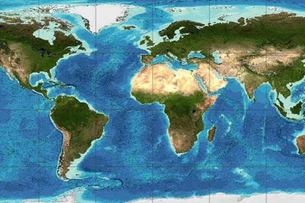
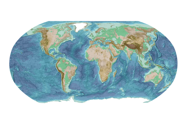
Gridded Bathymetry Data
GEBCO's gridded bathymetric data sets are global terrain models for ocean and land. The grids are available to download or access through Web Map Services.
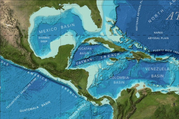
Data & Products
GEBCO produces and makes available a range of bathymetric data sets and products. This includes a global bathymetric grid; gazetteer of undersea feature names, a Web Map Service and printable maps of ocean bathymetry.
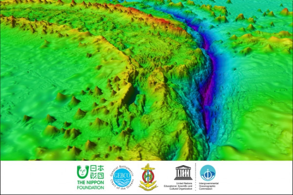
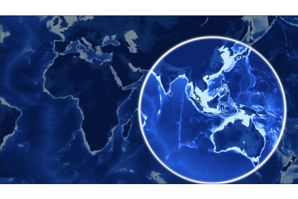
Seabed 2030
Seabed 2030 is a collaborative project between the Nippon Foundation and GEBCO. It aims to bring together all available bathymetric data to produce the definitive map of the world ocean floor by 2030 and make it available to all.
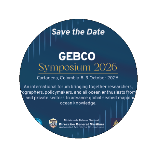
Call for contributions - GEBCO Symposium 2026
Join the global ocean community in Cartagena, Colombia, on 8–9 October 2026 to explore the latest developments in ocean mapping. The deadline to submit a contribution is Friday 26 June 2026.
Latest news
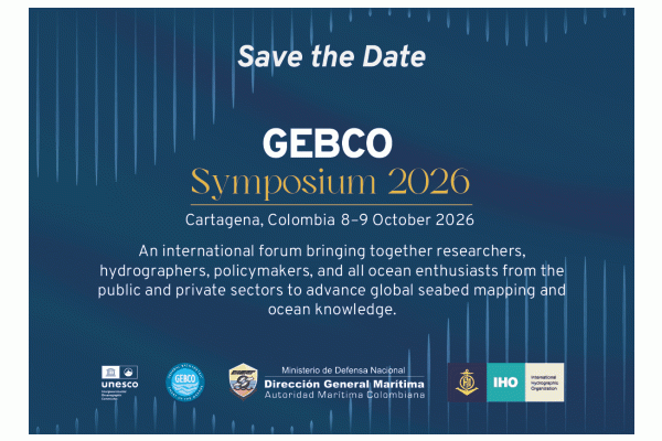
GEBCO Symposium 2026
POSTPONED - Seabed 2030 Indo-Pacific Ocean Mapping Meeting & Data Sprint
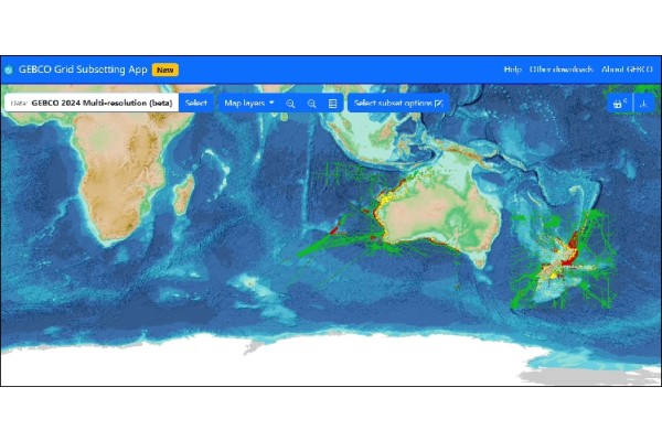
Try our new GEBCO grid download app
General Bathymetric Chart of the Oceans
Producing free, open and complete seabed data and information for the world’s oceans.
Some of our People

Mr Evert Flier

Prof Martin Jakobsson

Dr Vicki Ferrini

Dr Rochelle Wigley